Fishing
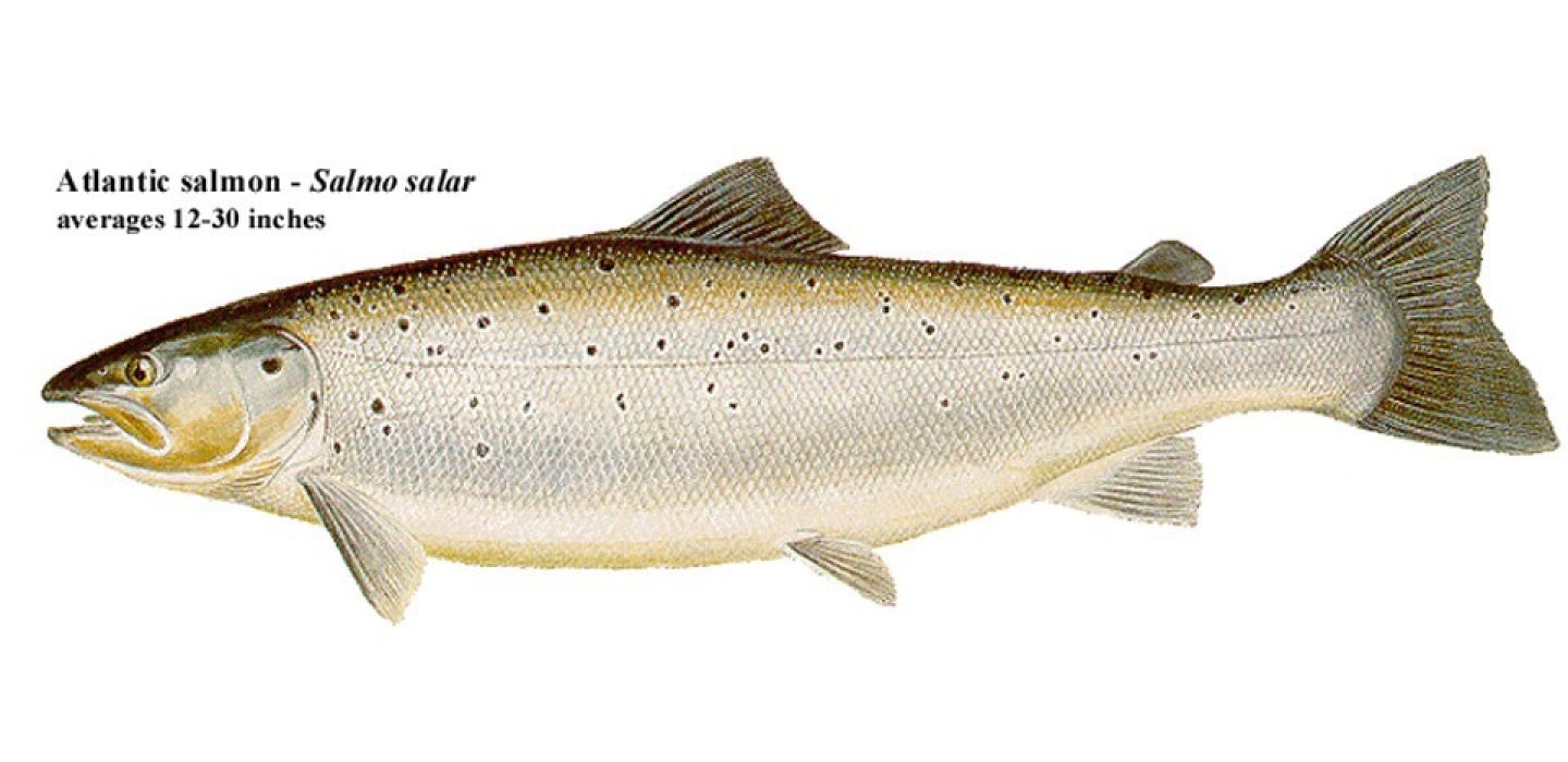
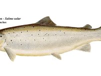
If you’re looking for landlocked salmon, Hoel Pond is the place to go. Summer’s hotter temps will send them into the deeper water (the pond maxes out at 65 feet), but a troll over Hoel’s 455 acres should net you something.
With the variety below the surface, you don’t know what might be on the end of the line – lake trout are abundant here, along with largemouth and smallmouth bass and a variety of panfish.
Be sure to get your fishing in before it freezes; ice fishing is not allowed on Hoel Pond.
You can access the water through the only boat launch on the southern shore at the end of Hoel Pond Road, just off Floodwood Road.
Paddling
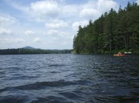
This route starts out from the state boat launch site at the south end of Hoel Pond. Hoel Pond is located at the south end, but out of, the St. Regis Canoe Area. Hoel Pond does allow motor boats.
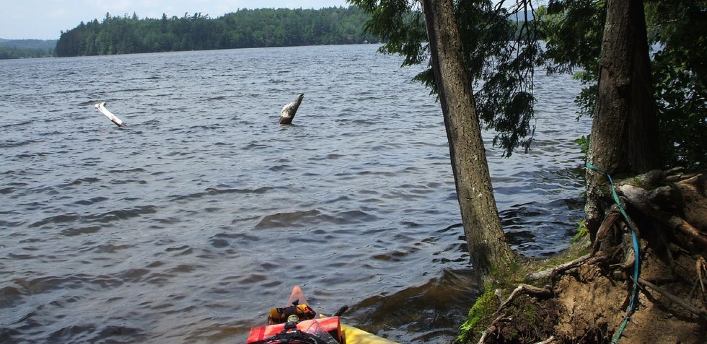
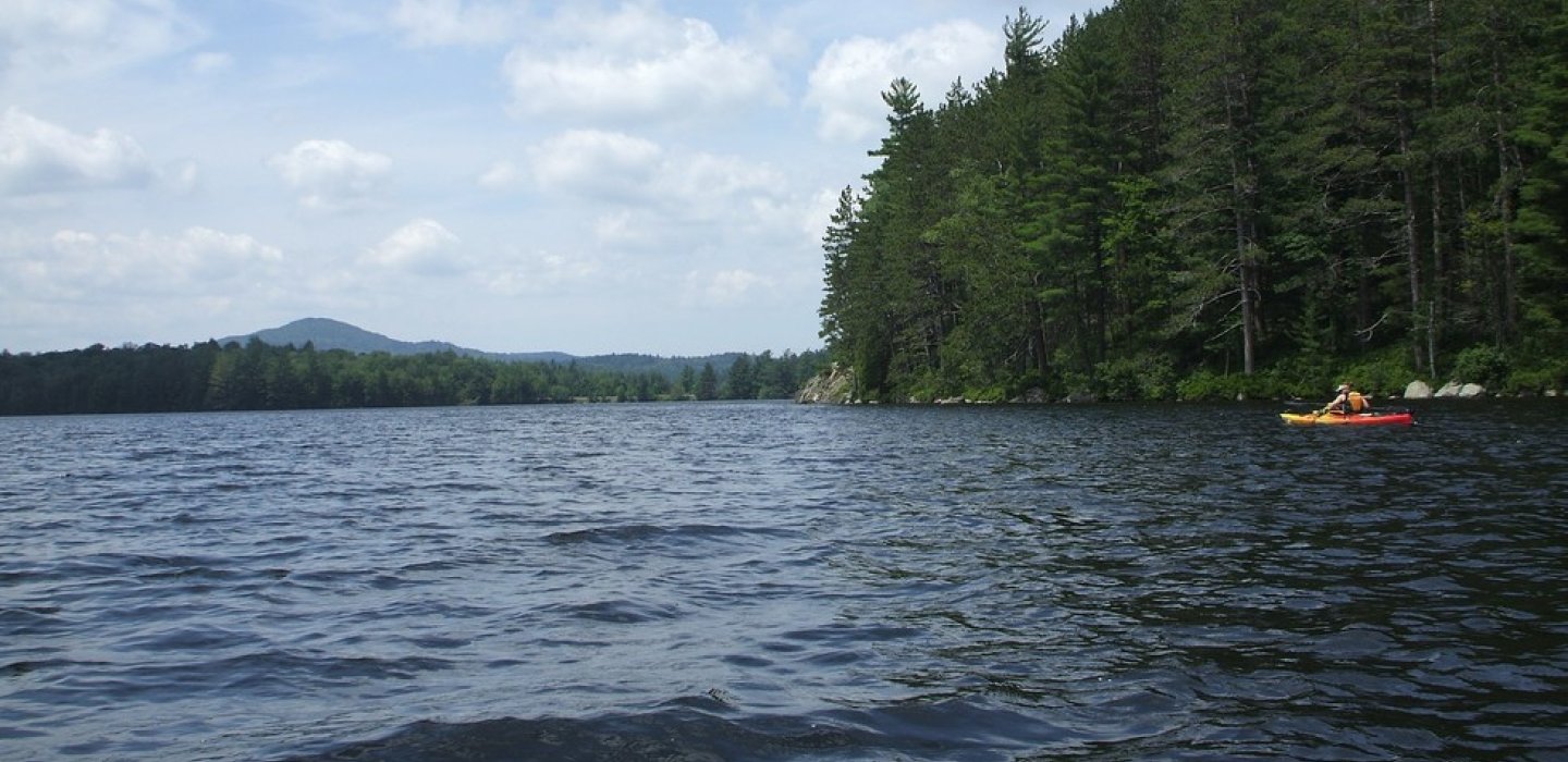
Hoel Pond is a large pond with over 6 miles of shoreline to explore. The eastern shores are private.
Caution: a culvert drains Hoel Pond and is not designed to travel through. The culvert is wide enough for most kayaks, but it drains steeply downhill with a slight drop on the other end and would be a dangerous and non-successful venture.
How to get there:
From Malone follow Route 30 toward Paul Smiths, continuing to Lake Clear. Turn right in Lake Clear, following Route 30 toward Tupper Lake for around 5.5 miles to Floodwood Road on the right. Follow Floodwood Road for 0.35 miles to Hoel Pond Road on the right. Follow here to the Hoel Pond Access Road (dirt road) on the left. Follow this rough road along the golf course to the boat launch, 0.5 miles.
Type of launch: State boat launch site, less than 100 feet
Portage/Carry Details: From state boat launch site to Hoel Pond the carry is 30 feet on a short, steep path down stairs to sandy beach
Type of water: This can be very big water and can produce some very big waves. Motorboats are allowed by shore owners. No motorboat use by visitors.
Camping
Primitive camping sites are located on the pond to the NE and SW.

