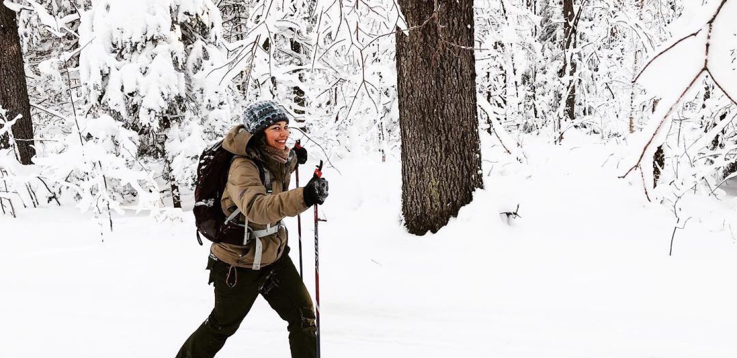
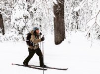
Debar Mountain offers beautiful views and a skill-testing cross-country ski, then snowshoe, trail.
Snowshoeing and Cross-Country Skiing
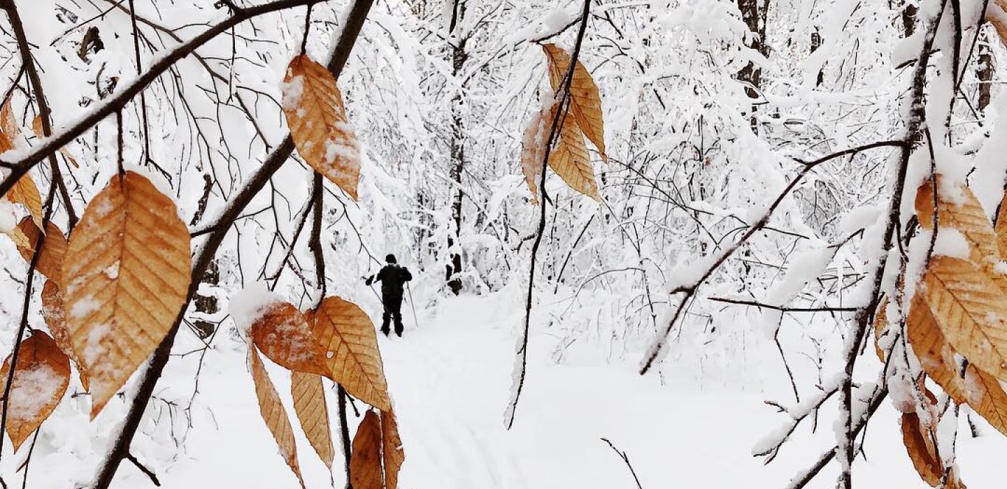
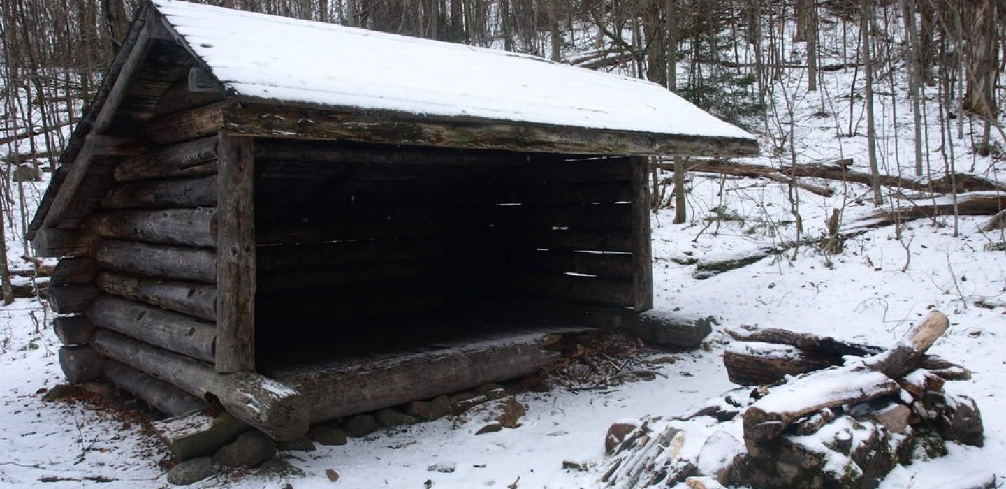
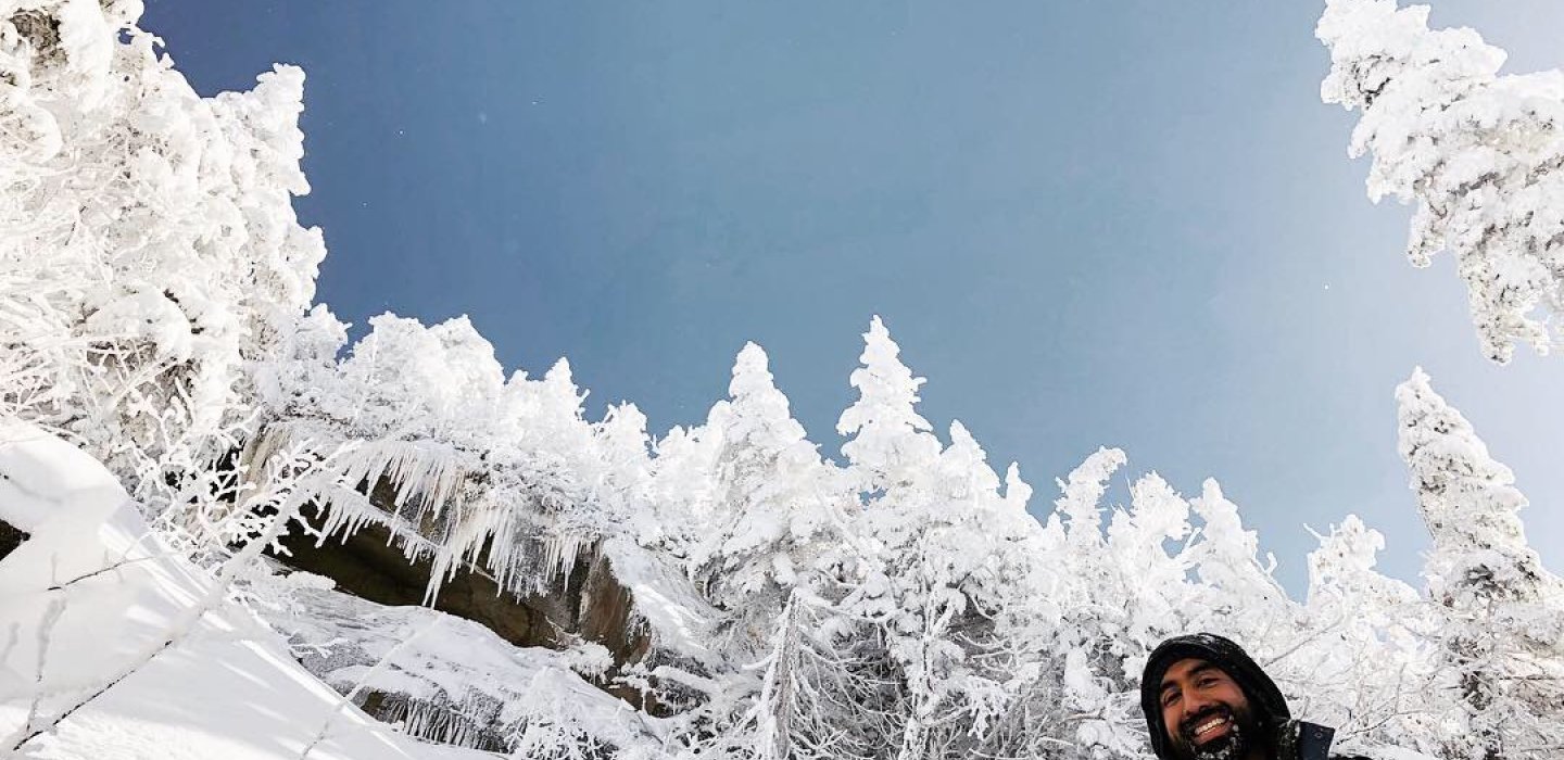
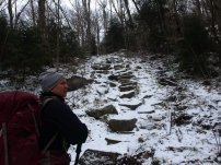
This popular trail is usually well packed down from other snowshoers and skiers. Crampons and other climbing aids are recommended for the climb to the summit which begins past the lean-to.
The entrance road to the campground is usually plowed to within a quarter mile of the entrance station. Follow the main road through the campground to find the signs for the trailhead, which leads to a dirt road, 0.5 miles from the campground, to reach the actual trailhead.
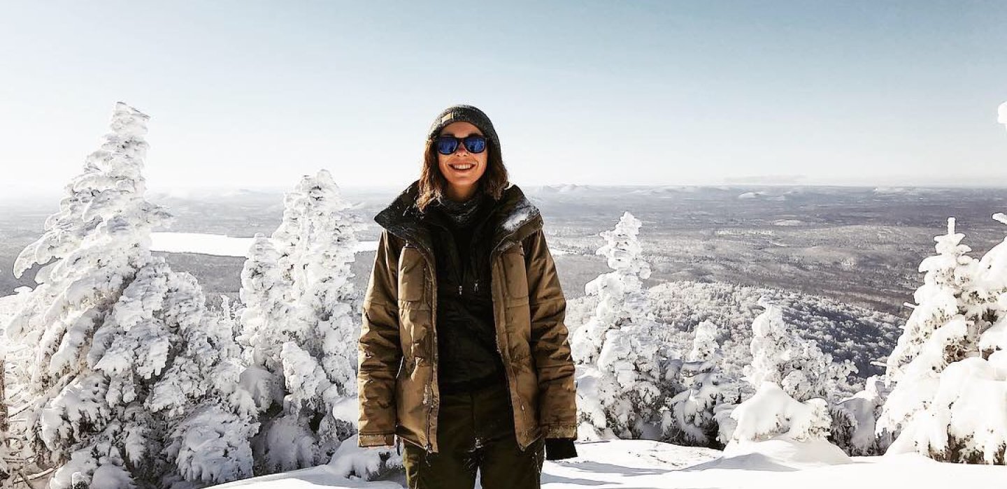
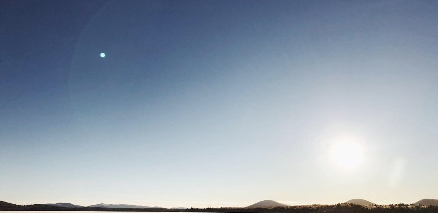
Reach the top for a panoramic view of the Santa Clara tract and the northern Adirondacks. Look for St. Regis and Azure Mountains to the west. This is a remote location which shows few signs of human civilization.
Seasoned snowshoers can complete this trek in about 5 hours.
Hiking
Trailhead: From Malone, take Route 30 south to Meacham Lake State Campground. In season there is a small day use fee. Once in the campground follow the roads to the trailhead, which is located on the left side of the campground down a narrow dirt road.
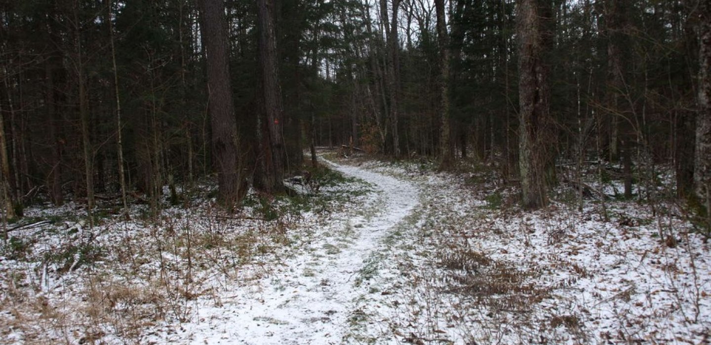
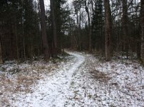
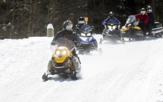
The trail register is located near the yellow state gate. From here, you will begin a mellow hike along an old carriage road for 1.2 miles. This will be on a mostly flat grade along a snowmobile trail to the junction for Debar Mountain.
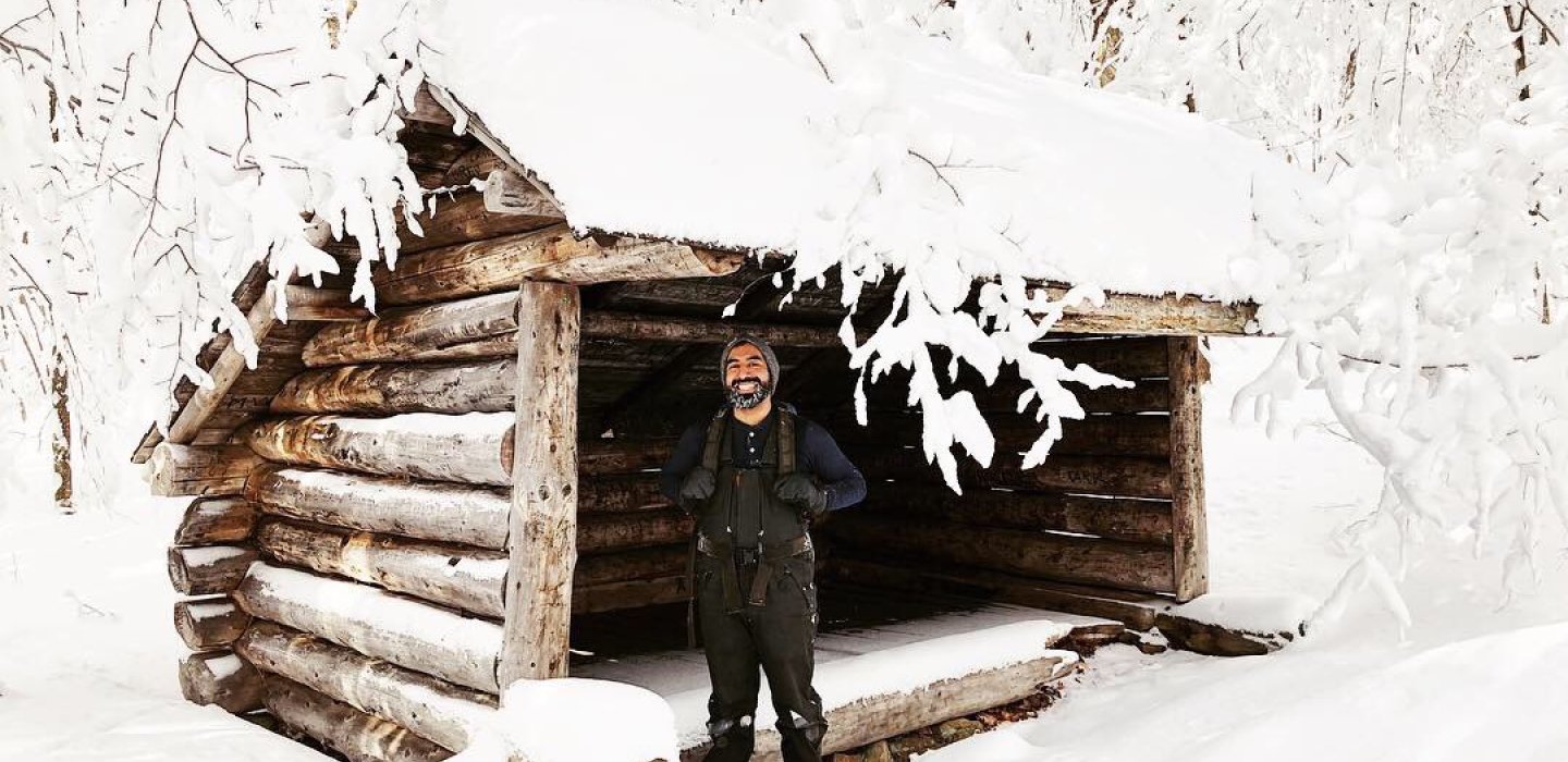
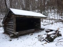
Take this left toward Debar Mountain; there is a trail sign marking this trail intersection. From here, the trail remains relatively moderate. After a couple short climbs, you will come to the Debar lean-to. At this point the summit is another 0.8 mile climb.
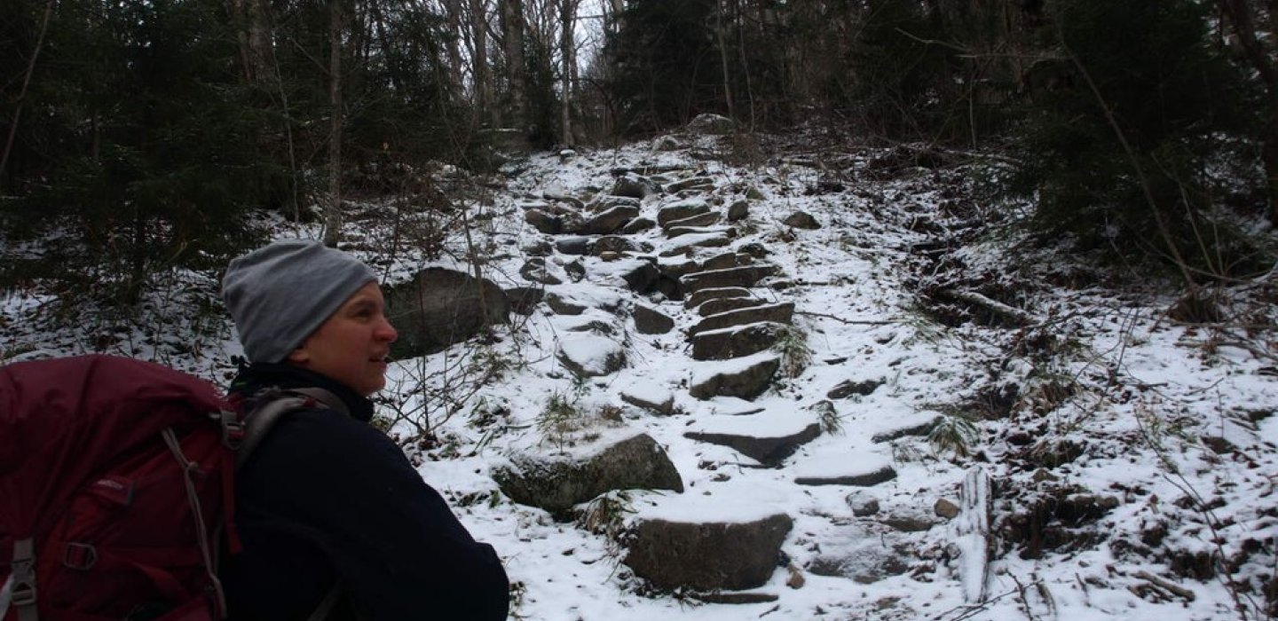
Once past the lean-to, the climb becomes much steeper. The trail sweeps by the base of a relatively new slide. The trail then climbs along the slide to its left before climbing very steeply over rocky terrain. Once atop here, the grade moderates a bit and eases out to the summit rock. The summit has outstanding views of the area offering a 180-degree view of the surroundings. This is a great place to bask in the sun on a hot day.
Distance Round Trip: 7.4 miles
Elevation: 3,305 feetElevation Gain: 1,725 feet
Camping
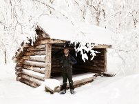
The Debar lean-to is 0.8 mile shy of the summit.

