


Hiking
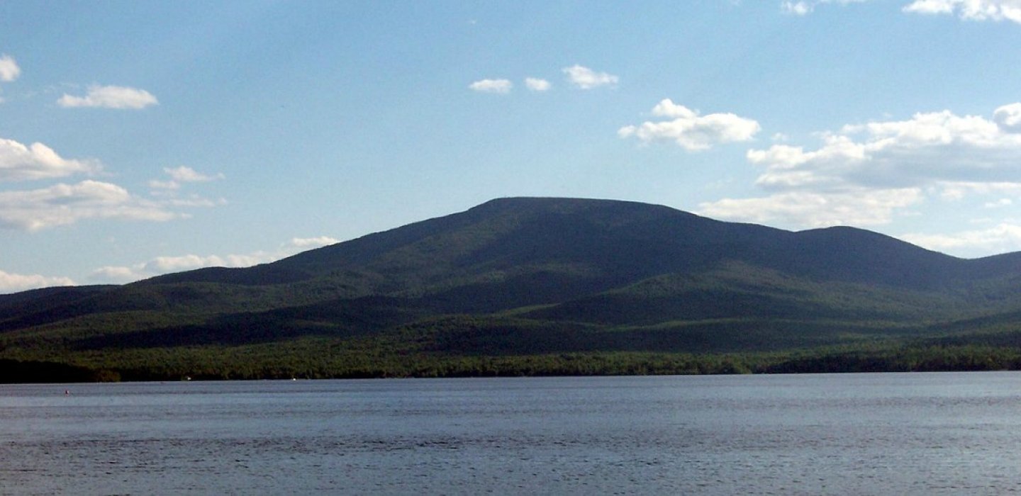
This hike offers an incredible view from the restored 1917 fire tower. This mountain is the place to go for views that reach as far as Montreal to the north, the Green Mountains of Vermont to the east, and the High Peaks of the Adirondacks to the south.
The 3,830-foot summit, and the additional 35 feet of the fire tower, are now rated as a moderate hike with the new 3.5 mile trail (one way.) This route has 11 switchbacks through the steepest sections, and two new bridges. It is now an even more scenic walk, with mossy boulders, forest changes from birches to pines, and a delightful "other-wordly" feel throughout.
Lyon Mountain once had a "company town" of Popeville to house the miners who brought out the best iron ore in the world for over a century. The cables that hold up the Brooklyn, George Washington, and Golden Gate bridges have Lyon Mountain iron at their cores. In the late 1880s, Lyon Mountain was the second-largest community in the Adirondacks.
Trailhead
From Malone, take County Route 24 east to Brainardsville and the intersection with Route 374, turning right to travel south to Lyon Mountain. Continue through Lyon Mountain, staying on Route 374. After about 3.5 miles, with a view of Chazy Lake, turn right on Route 29/Chazy Lake Road. Continue south for 1.8 miles to a gravel road on the right. This is Lowenburg Road, marked with a seasonal route warning. About a mile down is the parking area near the trailhead.
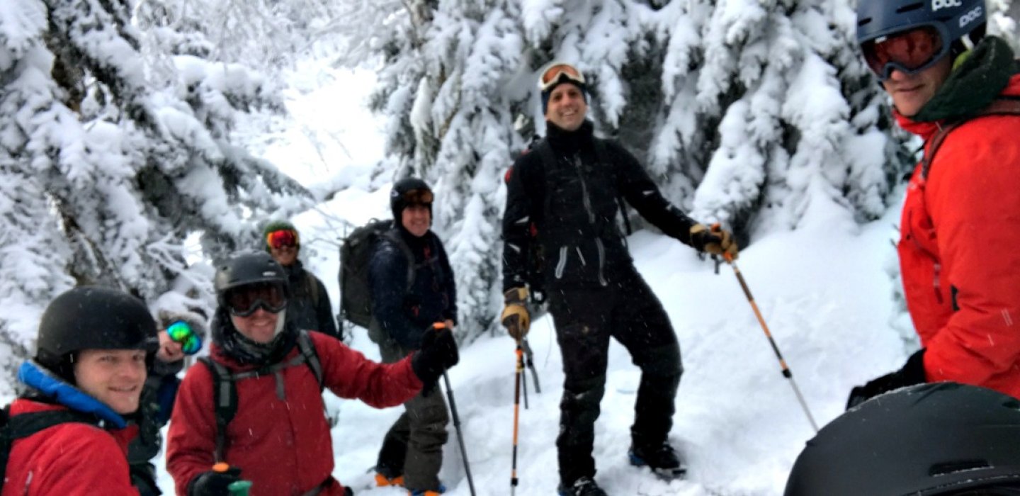
Backcountry Skiing
Challenging climb, fantastic view, ski through history — it's all there at Lyon Mountain. A new trail with plenty of switchbacks makes the mountain more accessible in winter.
This is the tallest mountain in the area, at 3,830 feet, rewarding visitors with stunning views of Chazy Lake, and then beyond it, Lake Champlain and the Adirondack High Peaks. On a clear cold day, there's even the Montreal skyline. Then slide down for a fantastic finish.
Trailhead
From Malone, take County Route 24 east to Brainardsville and the intersection with Route 374, turning right to travel south to Lyon Mountain. Continue through Lyon Mountain, staying on Route 374. After about 3.5 miles, with a view of Chazy Lake, turn right on Route 29/Chazy Lake Road. Continue south for 1.8 miles to a gravel road on the right. This is Lowenburg Road, marked with a seasonal route warning. About a mile down is the parking area near the trailhead.
Start on the hiking trail, and look for the sign that branches off for the cross country trail.
Birding
An excellent hike in the northeast Adirondacks, Lyon Mountain should not be skipped by birders either. Birders should follow the new trail to the summit (this trail follows switchbacks while the old trail goes straight up the mountain); they can find a wide array of warblers, vireos, flycatchers and other songbirds as they hike.
The summit area is of the greatest interest, however, as it harbors species like Boreal Chickadee, Blackpoll Warbler, Yellow-bellied Flycatcher, Swainson’s Thrush, and most importantly, Bicknell’s Thrush. An early start helps increase the odds of finding the sought after Bicknell’s.
Find out more
Read our blog post about The ghost town of Popeville. Find out why Lyon Mountain is a purrfect hike!