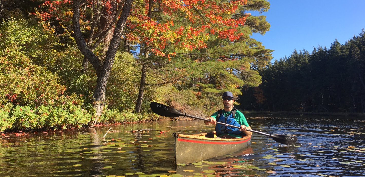
The largest body of water of the St. Regis River chain, which includes Spitfire Lake and Lower St. Regis Lake.
Ice Fishing
This area is known for pike and panfish.
Statewide fishing regulations apply.
Fishing
This popular spot has plenty of nooks and crannies for the crafty angler to explore. It is part of the original Seven Carries canoe route, so bringing a portagable boat allows access to many smaller, more remote, ponds and lakes.
The lake is 742 acres in size. Average depth is 25 feet with a maximum depth of 90 feet.
Species: Smallmouth Bass, Northern Pike, Brown Bullhead, Yellow Perch, Lake Trout, Splake, Largemouth Bass, Landlocked Atlantic Salmon, Pumpkinseed
Access: a mix of Public and Private, with roads nearby.
Paddling
This nine mile loop has views of many historic Great Camps and lets the paddler explore Upper St. Regis Lake, Spitfire Lake, and Lower St. Regis Lake.
Three accessible boat launches and one carry that is only .6 miles long adds up to a classic loop no one should miss! Also supports the option of a shorter trip.
These gems of the St. Regis Canoe Area also offer the option of spending overnight or longer in this wilderness. For more about the remote wildlands experience, see these tips from the DEC.
Find out more
Adirondack Paddler’s Map: St. Regis Canoe Wilderness SRCO self-guided brochure, Great Camps on Upper St. Regis Lake.
Launching Points:
Keese Mills Road Latitude: 44.43212271 Longitude : -74.29987192
Paul Smith College Latitude: 44.4339341205 Longitude : -74.2532661930Upper St Regis Lake Boat Launch Latitude: 44.3949091528 Longitude : -74.2698393948


