Paddling
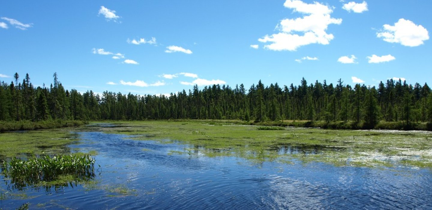
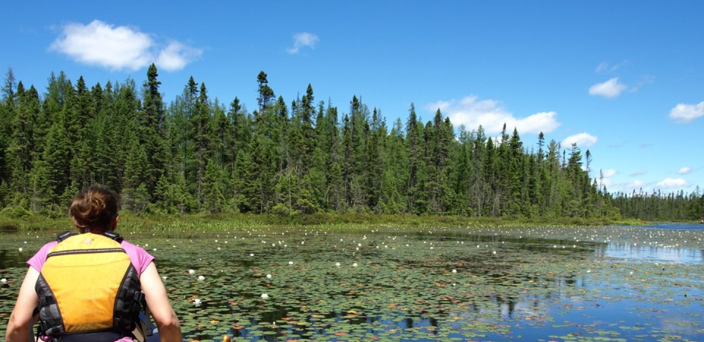
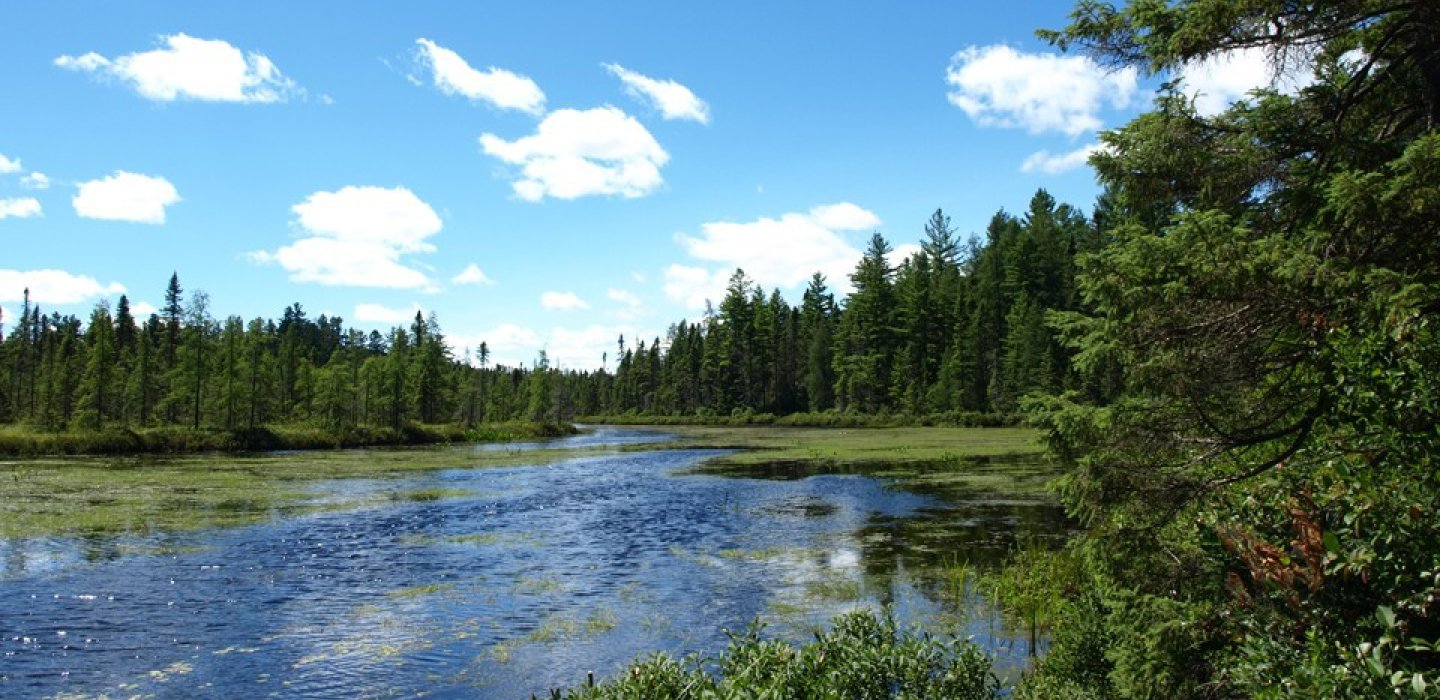
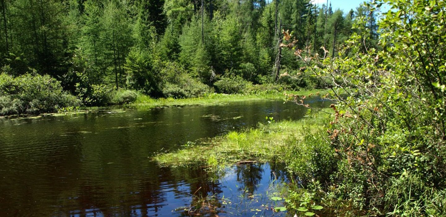
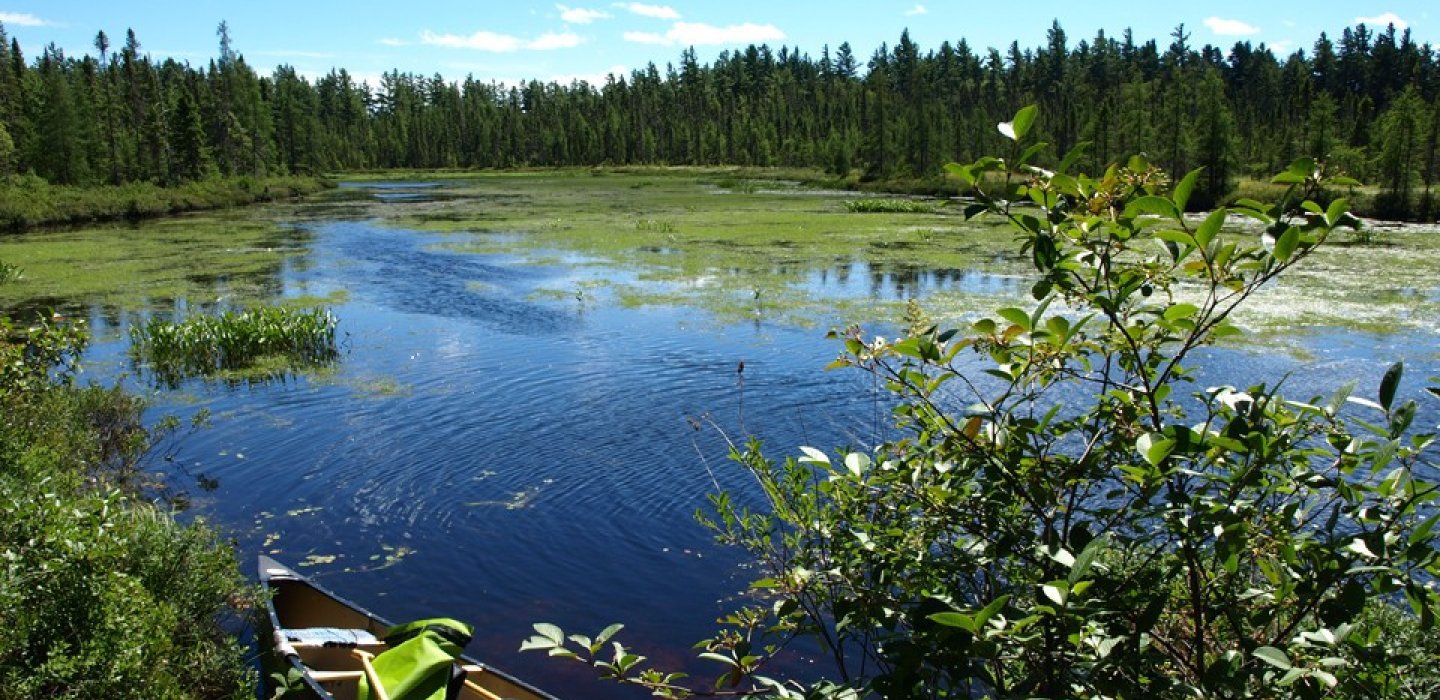
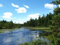
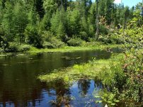
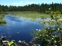
From Osgood Pond to Meacham Lake the river narrows, develops patches of water lilies and pickerel weed, and the banks get close, become more of a stream in places. From the state boat launch you will have an extended open water paddling session as you cross the large body of water to reach the Osgood River. During windy conditions this can be a tough paddle, but on a calm day the pond is pristine.
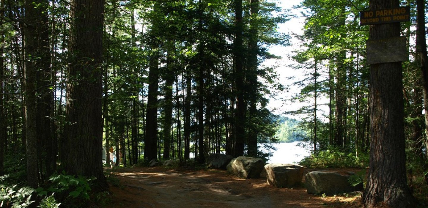
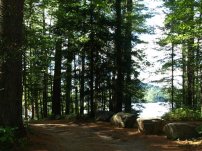
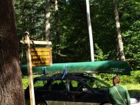
From the northern launch site, which is much more scenic and is preferred for paddling, the launch is brook side over the guard rail. The launch is narrow but shallow. Once in the brook it is plenty deep enough for travel and the current slowly brings you to Osgood Pond. There is a hard left into the pond, where windy conditions can make it difficult to reach the open water.
Once on the open water the river is straight ahead at the site of the White Pine Camp. Paddling across the river can be tough in windy conditions, but once you are in the narrower portions of the river the wind is broken up.
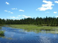
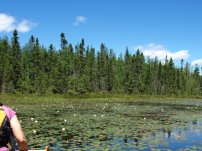
The river can be traveled downstream through breathtaking groves of fragrant water lilies and pickerel weed. You will be carried downstream for quite some time. There is an amazing camping area on the right about a 1/2 mile from the end of paddling route. The river portion is roughly 2.75 miles in length.
How to get there
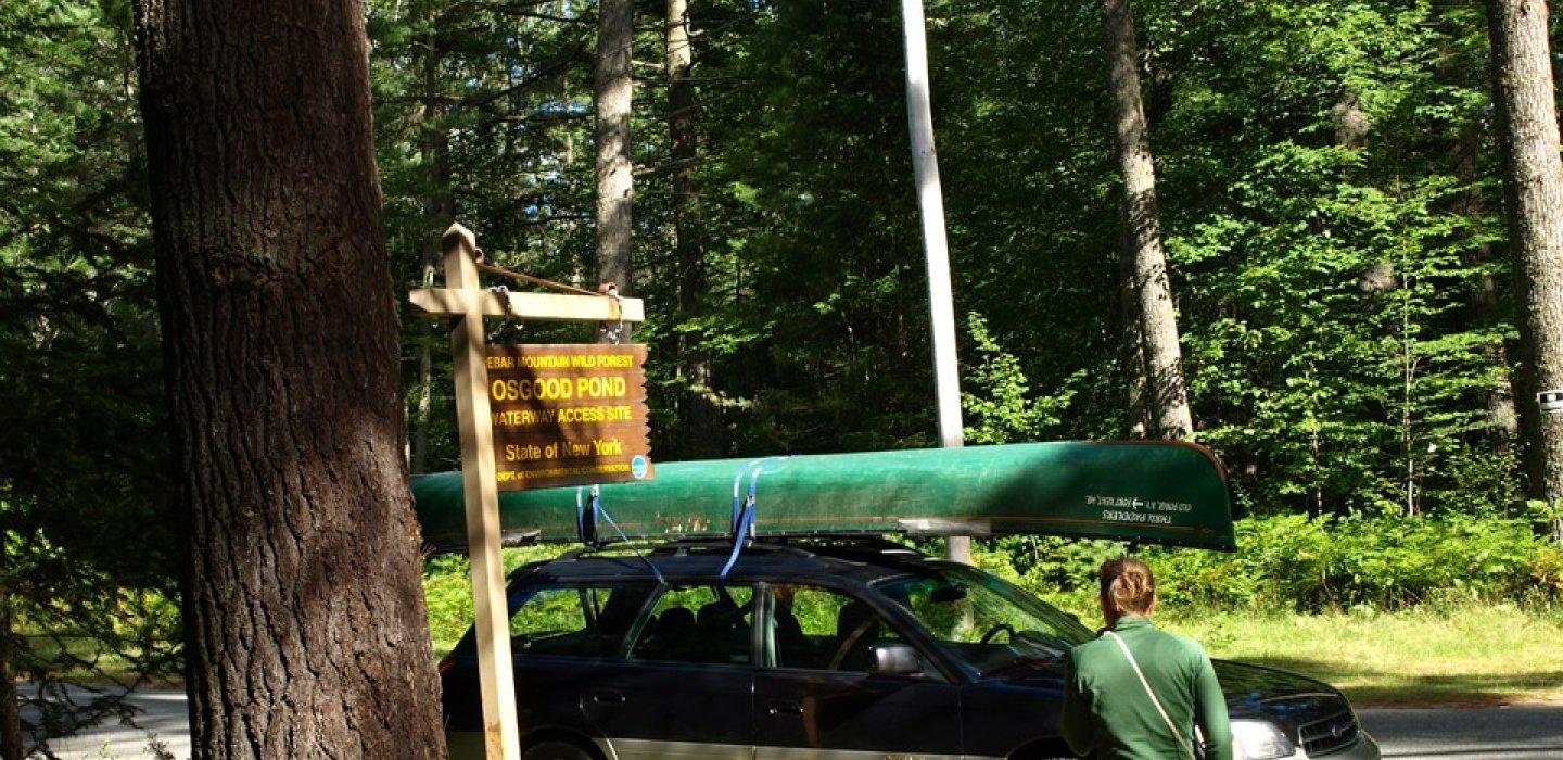
Leave Malone on Route 30 South, to the intersection of Route 86 in Paul Smiths. Turn right and look for White Pine Road on the left. Follow White Pine Road for 0.3 miles to the state launch site on the left.
Continue for another 1.2 miles to the northern launch are on the left. Parking is located roadside near the bridge.
Type of launch
Both are roadside. Use the Osgood Pond Hand Launch Site.
Portage/Carry Details
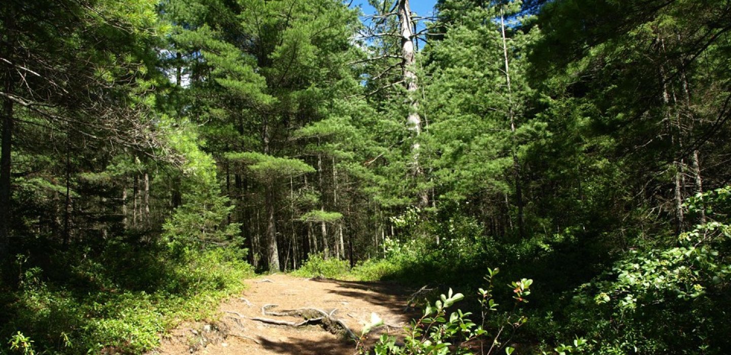
Less than 100 feet, hard dirt surface
Approximate Shoreline Length
6.75 miles
Type of water
Osgood Pond is well sheltered, calm and flat under most conditions. Its size and position means it can get windy and produce waves, and motorboats are allowed on Osgood Pond.
Osgood River is also sheltered, can be windy in spots but not too bad, with a very calm current heading north. The river is not accessible for motorboats.
Fishing
The eagle nests throughout the area mean good fishing. Watch for blowdowns and low bridges that can block a larger boat and need to be carried around. The turnoff for Baker Pond is very faint. While exploring, look for the gap in the esker.
Directions to Access Points
From the intersection of Route 86 and Route 30 in Paul Smiths, follow Route 86 toward Saranac Lake and take a left onto White Pine Road. State access boat launch will be up on the left.
Shoreline Fishing
Shoreline fishing is what you make of it here. If you can access some areas where the weeds persist you could catch a few bass. Cartop boat access is the best.
Boat Access
Use the Osgood Pond Hand Launch Site.
Cartop boats work best here, but a small boat with a trolling motor would be easy enough to launch. Explore the weeds for some productive bass fishing, or head up the Osgood River for more decent fishing. You can get up the river about 3 miles — this is especially good if you're looking for trout, which seem to be more at home the further you go. Trout fishing the pond itself is not productive. The pond is not overly deep, but trolling for northern pike is a popular fishing technique used here.
Fish Species
Northern pike, smallmouth bass, largemouth bass, bullhead, panfish, brook trout.
Camping
The Osgood River has two primitive tent sites on the east bank (river right).

