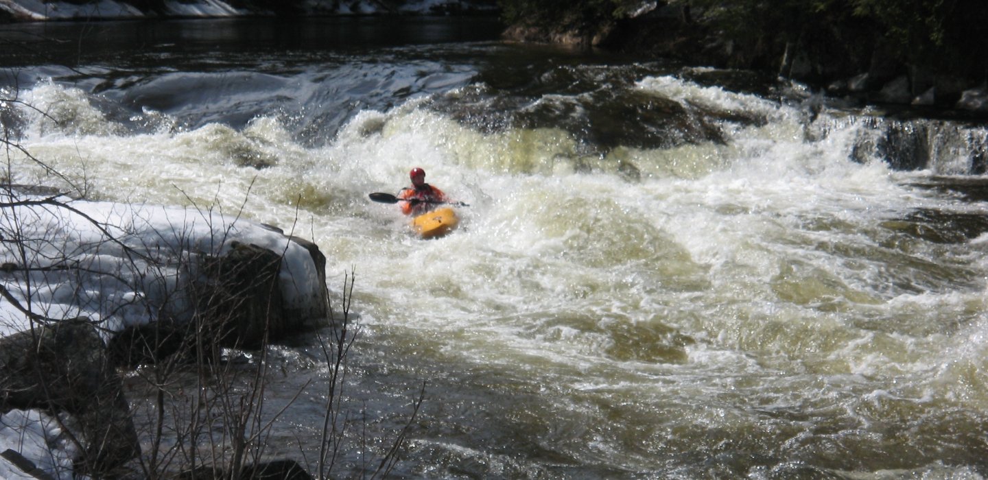
Lower Chateaugay Lake to Cooks Mill is a 12.2 mile section through a deep gorge, ranging from II-V+ during normal flows.
Put-in at the bridge at Cromp Road/Bunker Hill Road, (Latitude: 44.840774, Longitude: -74.041016)
Take-out near the intersection of Hartnett and Healy Roads, (Latitude: 44.896343, Longitude: -74.086490) where the river slows and widens.