Unpublished
Submitted by guest blogger Kaet Wild
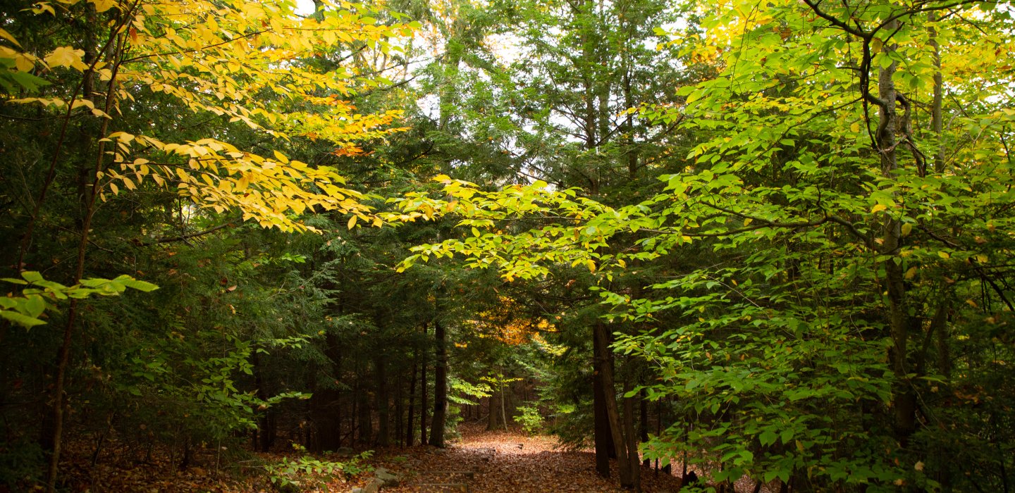
1. Titusville Falls

This is an easy one mile out and back trail located in Owls Head, NY. While some spots are muddy and/or overgrown, the majority of the trail is well marked and easy to follow. You'll walk along side the river through a fairy esq. forest filled with ferns and mossy rocks until you reach the rapids section with a few spots to overlook the roaring river. A man made ladder brings you to the bottom of this impressive waterfall where you can sit upon a couple rock thrones.
The trail begins off of a dirt road called Barnesville road. To get there from Saranac Lake, take route 86 towards Paul Smiths and make a right onto Route 30. Drive about 17 miles then make another right onto Route 26. Stay straight onto Route 27 and then you'll see Barnesville on your left.
2. Elephant Head

This is another fairly short hike, about one mile out and back. It's mellow and accessible to all level hikers if you go at your own pace. The toughest part is a ladder near the top. The reward of this small climb is a beautiful view of Titusville Lake and Titusville Mountain.
To get there from Saranac Lake, take route 86 towards Paul Smiths and make a right onto Route 30. Drive for about 22 miles and you'll see the trailhead on the right.
3. Azure Mountain

Azure mountain is more moderate than Titusville Falls or Elephant Head. It is only about a mile to the summit, but there is quite a bit of elevation gain. However, if you're looking for more of a challenge, this is your hike. It will be well worth it when you're standing at the top of the fire tower peering out at a 360 degree view of Adirondack fall foliage.
To get to the trailhead from Saranac Lake, follow Route 86 to Paul Smiths, about 11 miles. At the intersection with Route 30 in Paul Smiths, turn right on Route 30 and follow that for 9 miles, then turn left on Route 458. Follow 458 for 13 miles and turn left on Blue Mountain Road (this end is paved) and follow it for 7 miles, then turn right at the large brown and yellow DEC sign to get to the parking area.
4. Debar Mountain

Need an even bigger challenge than Azure? Debar mountain is calling. Debar has the miles (about 7 miles round trip) and the elevation gain to leave your calves burning. While the first couple miles are relatively flat, once you pass the lean-to, you'll know things are about to get steep. Just remember there's a little rock face overlooking your entire route from Meacham Lake and endless autumn hues waiting for you at the top.
This trailhead is located in the Meacham Lake Campground. To get there from Saranac Lake, take route 86 towards Paul Smiths and make a right onto Route 30. You'll see the Meacham Lake Campground on the right. Enter the campground and veer left to enter then follow signs for Debar mountain on the left.
5. Ledges Trail

So you're looking to get a little rugged this fall? The ledges trail might be for you. This trail is overgrown and poorly marked. I recommend bringing a map and compass... just in case. It's a short hike, a little over a mile out and back, and weaves you through a deciduous forest up to some ledges on the side of Titusville Mountain. The view is worth the short climb and there's a good chance you'll find some real wilderness solitude up there.
To get to this trail from Saranac Lake, take route 86 towards Paul Smiths and make a right onto Route 30. In 26 miles, turn right on route 26 then turn left on Studley Hill Rd. Lee road will be on the left after about 5 miles. Lee is a dirt road that I wouldn't recommend driving on. There's a little turnaround at the beginning of the road where you can park a vehicle or two. From there you'll walk Lee road about a mile until you get to the trail on the right.


Comments
Add new comment